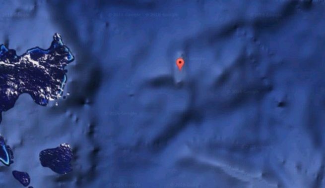
Sandy Island which is located in the Coral Sea off the Australian coast is Captain Cook’s discovery. It used to always feature in the maps in the 1800 but disappeared suddenly. Google maps blacked out this island earlier with a black box but Bing completely removed it. A research ship tried to locate it with the coordinates available from earlier times but failed badly. What did Cook find? Is there really an island there which is kept as a secret or it disappeared. Nobody knows.
8. Broken Arrow, Greenland
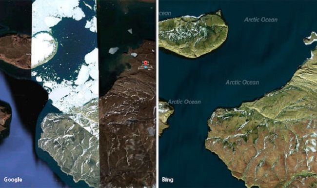
The term broken arrow means damaged or a fallen nuclear weapon and is widely used by the military of the US. It's also a site located in Greenland which is highly pixilated by the Google maps. In 1960-1968, the air force of the US carried out a secret and highly classified operation. It was during the Cold war and that mission was called “The Chrome Dome”. This operation involved some accidents of B-52 bombers which had thermonuclear weapons. The accident led to the end of that program in the year 1968. It is presumed by many that those accidents lead to the poisoning of much military personnel by radiations but no reason behind pixilating is known as such till now.